Five Map Sheets from La carte de l’état-major
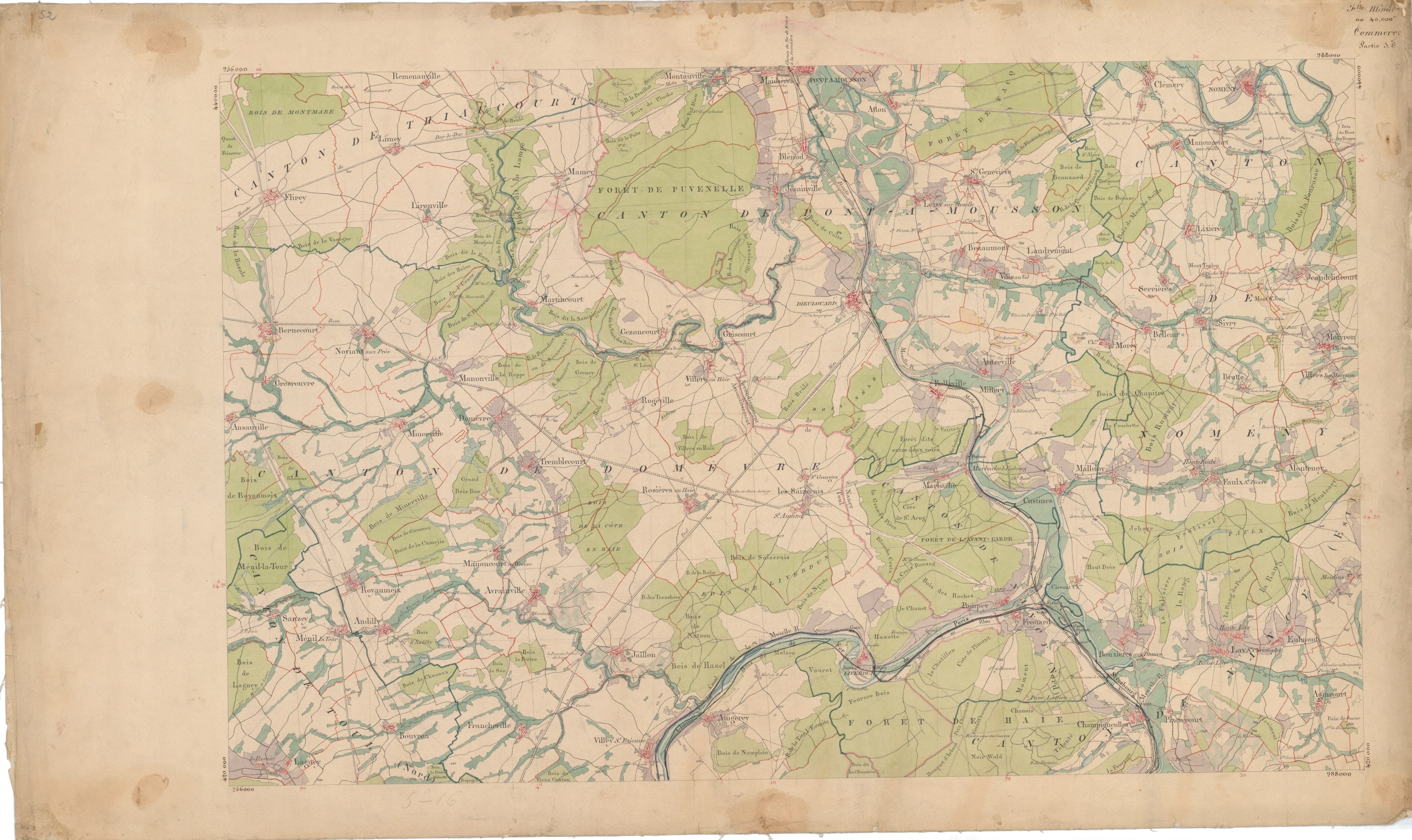
I love maps—especially pretty ones and especially old ones. These are both.
The 273 rectangular sheets that constitute La carte de l’état-major cover all of France at 1:40,000 scale. Elevation (in meters) is marked on hilltops and mountain peaks. Steepness is indicated by hatch marks, lines like rays from a peak. The closer together these lines, the steeper the slope. This elevation hatching and the Garamond typeface make the maps distinctive.
In use from the mid-nineteenth to well into the twentieth century, these maps were used by the French army during the war to generate larger scale maps of the western front.
—from A Very Muddy Place: War Stories
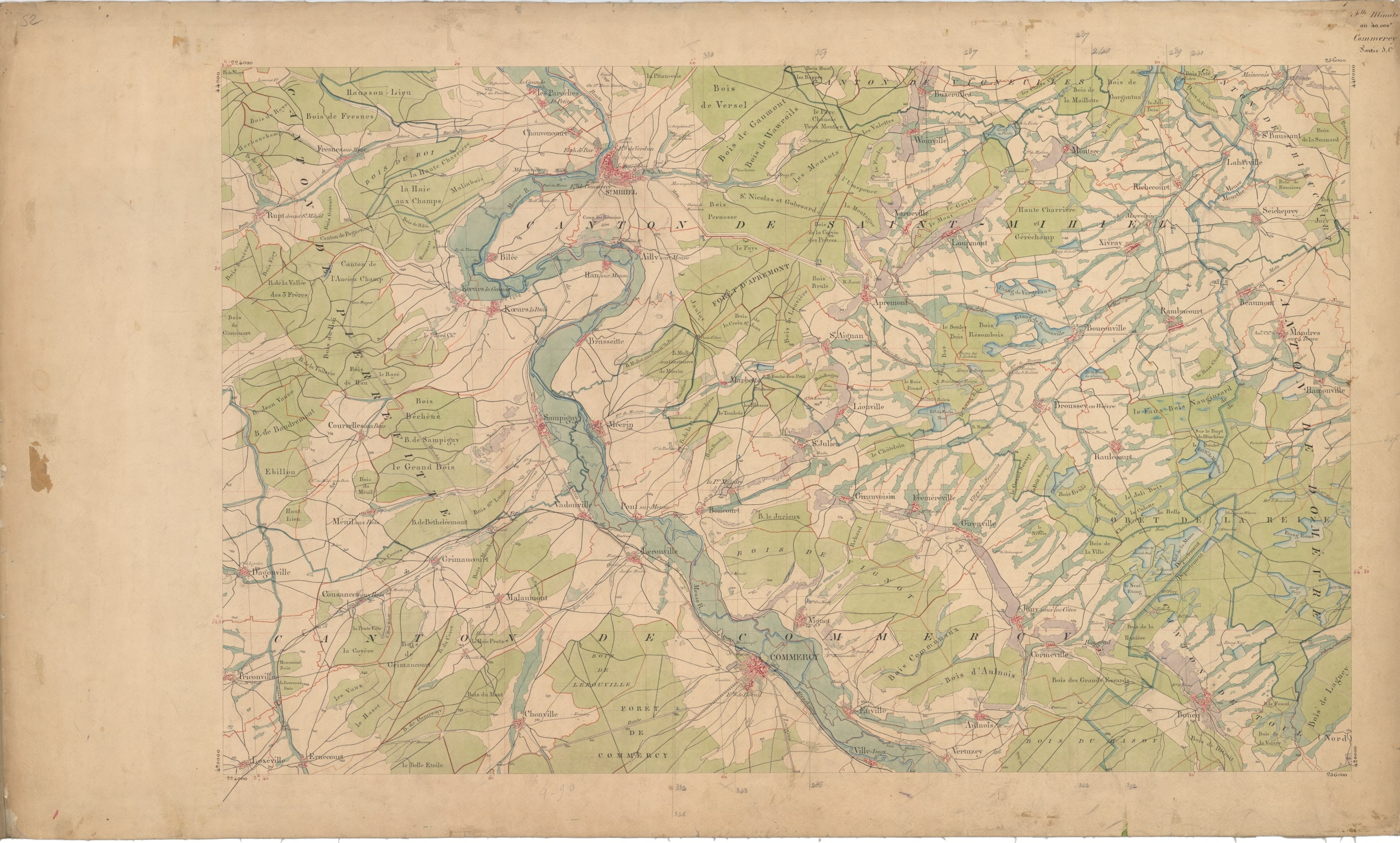
If you love maps too, you can follow Private Potts from the Haye Forest (see Chapter 8, “In Reserve at Saint-Mihiel”) to Auzéville (12, “A Potts Family Day of Thanks”) on map sheets Commercy SE and Bar-le-Duc NE, then to the Hesse Forest and Vauquois to Exermont (Part Two, “The Argonne Battle”) on Verdun SE and Verdun NE, and back to Sampigny (29, “Cruel Days”) on Commercy SO. On this last, General Pershing inspected the troops (30, “Godspeed”) just north of Commercy on the field between the villages Vignot and Boncourt.
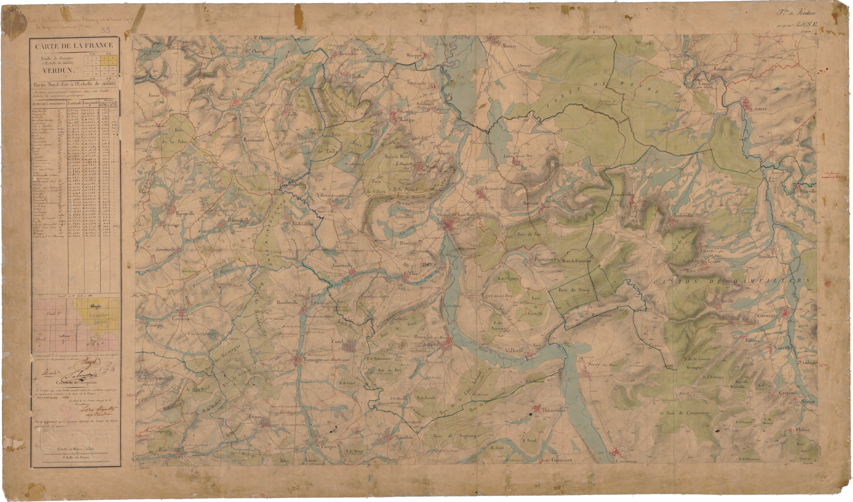 |
Verdun NE Exermont (top left) |
|
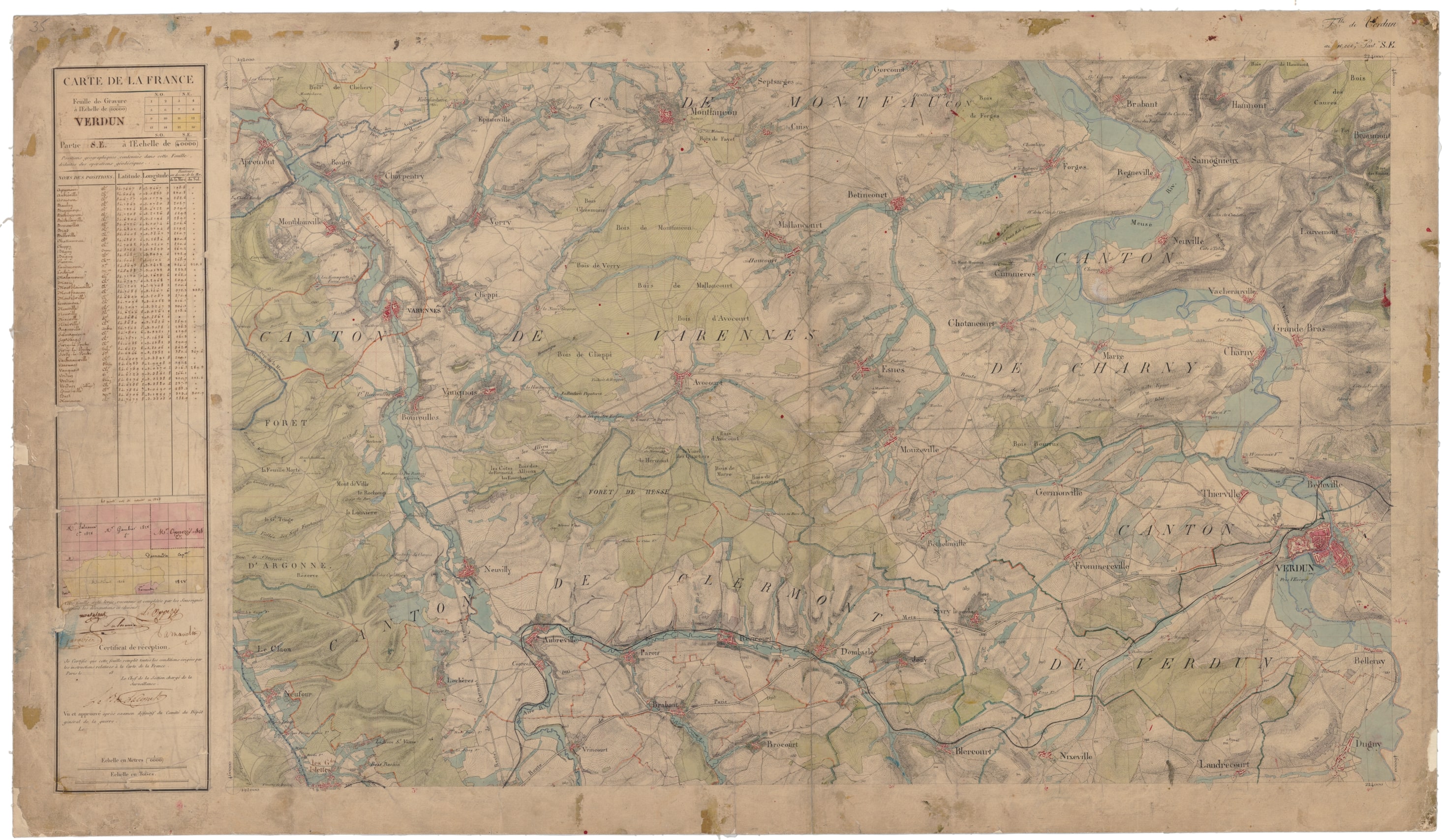 |
Verdun SE Vauquois (middle left) |
|
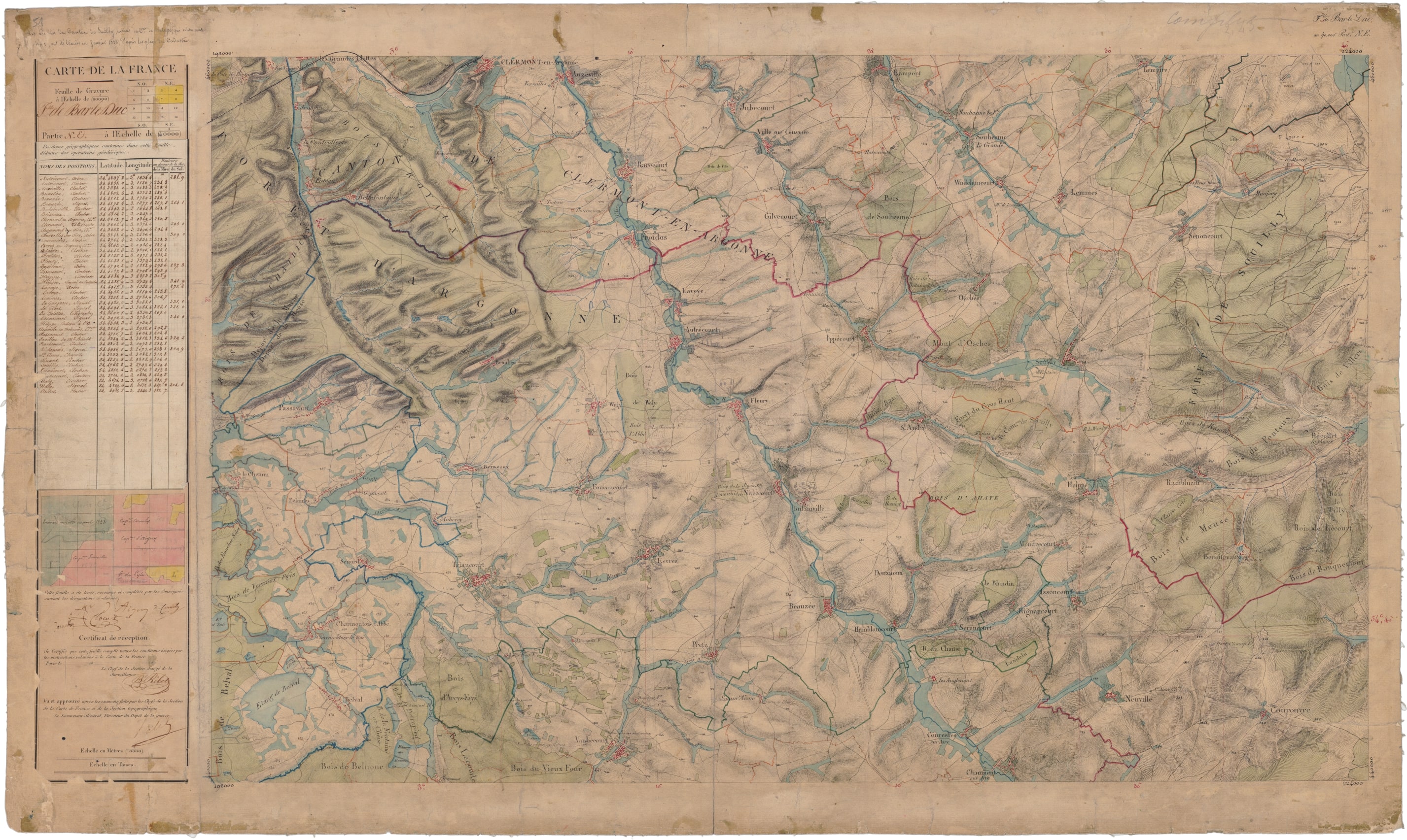 |
Bar-le-Duc NE Auzéville (top left-of-center) |
|
| Commercy SO Commercy (bottom center) |
Commercy SE Forêt de Haie (bottom right) |
|
 |
 |
Five map sheets from La carte de l’état-major arranged in geographic order
Explore elsewhere in the country on the French government’s Géoportail.